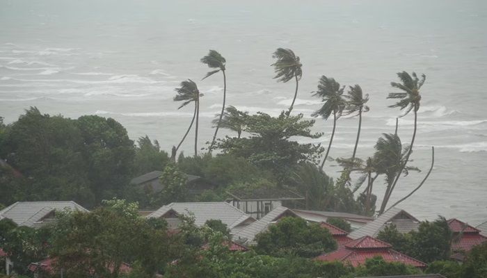
The cyclonic circulation over the central Andaman Sea is forecasted to intensify into Cyclone Dana by Wednesday, October 23, and is expected to reach the northwest Bay of Bengal, near the Odisha-West Bengal coasts, by the morning of October 24, according to a warning issued by the India Meteorological Department (IMD).
The upper air cyclonic circulation that was present over the central Andaman Sea shifted to the northern Andaman Sea by early Sunday morning, where it has remained. The India Meteorological Department (IMD) reported that, due to this system, a Low-Pressure Area will likely develop over the East-central Bay of Bengal and the adjoining northern Andaman Sea within the next 24 hours.
IMD has forecasted squally weather and moderate to rough sea conditions over the Andaman Sea until October 21. From October 22 to 24, squally weather with wind speeds between 35 to 45 km/h, gusting up to 55 km/h, along with rough to very rough sea conditions, is expected in the Central Bay of Bengal. Furthermore, from October 24 to 25, squally winds of 45 to 55 km/h, with gusts reaching 55 km/h and rough to very rough seas, are anticipated over the northern Bay of Bengal.
Fishermen are advised to refrain from venturing into the Andaman Sea until October 21, the Central Bay of Bengal from October 22 to 24, and the northern Bay of Bengal from October 24 to 25. The India Meteorological Department (IMD) has also recommended careful regulation of shipping, as well as offshore and onshore activities during this period.
You may also like

Instilling fear of law among criminals is UP govt's priority: Yogi Adityanath

South Africa Tour Of Bangladesh 2024: Squads, Venues, Schedule, Live Streaming Details

Has Allu Arjun's 'Pushpa 2' earned Rs 900 crore before theatrical release?

Liverpool have saved £51m as duo spare Arne Slot from spending big in January

India on unprecedented growth path amid global crisis: PM Modi


